Ewa Grabska-Szwagrzyk
Teaching
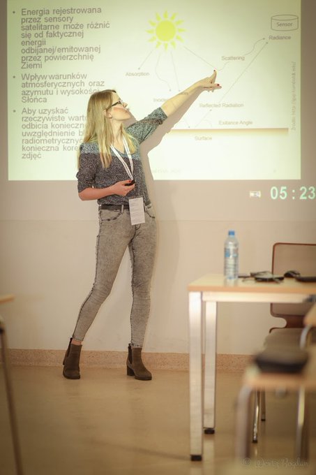
 Teaching the basics of satellite imagery processing in R during Spatial Analyses with Free OpenSource Software (SpAnFOSS 2020) workshops at the Faculty of Forestry, University of Agriculture in Kraków.
Courses (Academia)
- Remote sensing
- Spatial analysis and visualization
- Programming in R
- Statistics
Trainings
- Training in satellite imagery from Sentinel -1, -2 and high resolution imagery in QGIS and SNAP (organized by Polish Space Agency) for foresters
- Training in GIS and remote sensing in QGIS for Agency for Restructuring and Modernization of Agriculture employees
Workshops
Lectures
Exploring Earth Observation: Discovering Our Planet from Space | Ewa Grabska-Szwagrzyk
