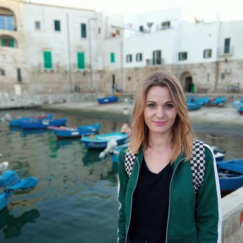
Ewa Grabska-Szwagrzyk

I am a geographer with the research focus on remote sensing and GIS. In February 2022, I successfully defended my PhD Dissertation in Earth and enviornmental science at Jagiellonian University in Kraków. My PhD thesis was entitled Use of remote sensing data for temperate mountain forests characteristics.
I graduated in 2015 from the Jagiellonian University, with a master’s degree in geography with GIS specialization. My thesis, Evaluation of optical and radar data (Landsat 8 and Sentinel-1) fusion for crop type mapping was awarded by Polish Geographical Society Award for outstanding MSc thesis.
During my PhD I worked in two projects related to the remote sensing data and forestry. In the first project Forest change detection and monitoring using passive and active remote sensing data, carried out at the Institute of Geography and Spatial Management, Jagiellonian Univeristy, I was focused on the use of time series of Sentinel-2 imagery in mapping forest species composition. The second project Innovative forest MAnagEment STrategies for a Resilient biOeconomy under climate change and disturbances (I-MAESTRO) was carried out at the Faculty of Forestry, University of Agriculture in Kraków. There I was more focused on the topics of forest disturbances in terms of monitoring them with dense time series of imagery, but also in analyzing the environmental and forest properties that predispose to forest dieback. I took part in two internships: in 2017 in Geomatics Lab, Geography Department, Humboldt University, Berlin, Germany, and June 2016 at Z_GIS - Interfaculty Department of Geoinformatics, Paris-Lodron University Salzburg, Austria.
Currently, I work as a research and teaching assistant in the Department of GIS, Cartography and Remote Sensing, Jagiellonian University.
The results of my analysis was published in several papers in the international, peer-reviewed journals - see more here. I also presented my research on international conferences such as IUFRO 2017, ForestSAT 2018 and ForestSAT2022.
I have advanced knowledge in R and in Google Earth Engine (Java Script) and basic knowledge in SQL and Python. Regarding GIS software I work in ArcGIS and QGIS a lot.
Remote sensing, particularly optical satellite imagery is my huge passion. I manage one of the most popular fanpages related to visualization of satellite imagery in Poland called Polska z Sentinela. It is also on twitter.
I am also enthusiast of R language, data science, spatial analysis and visualization, and sharing knowledge! I also enjoy mountain running and travelling.